Introduction
Imagine waking up in a completely dark, unfamiliar room. To find your way out, you would slowly walk around, feeling the walls to build a mental map of the space, while simultaneously keeping track of where you are relative to those walls.
This is exactly the challenge autonomous robots face when deployed in unknown environments. Solving this chicken-and-egg problem—needing a map to know where you are, but needing to know where you are to build a map—is the core of one of the most critical concepts in modern robotics.
Simultaneous Localization and Mapping (SLAM) is the computational problem of constructing or updating a map of an unknown environment while simultaneously keeping track of an agent's location within it.
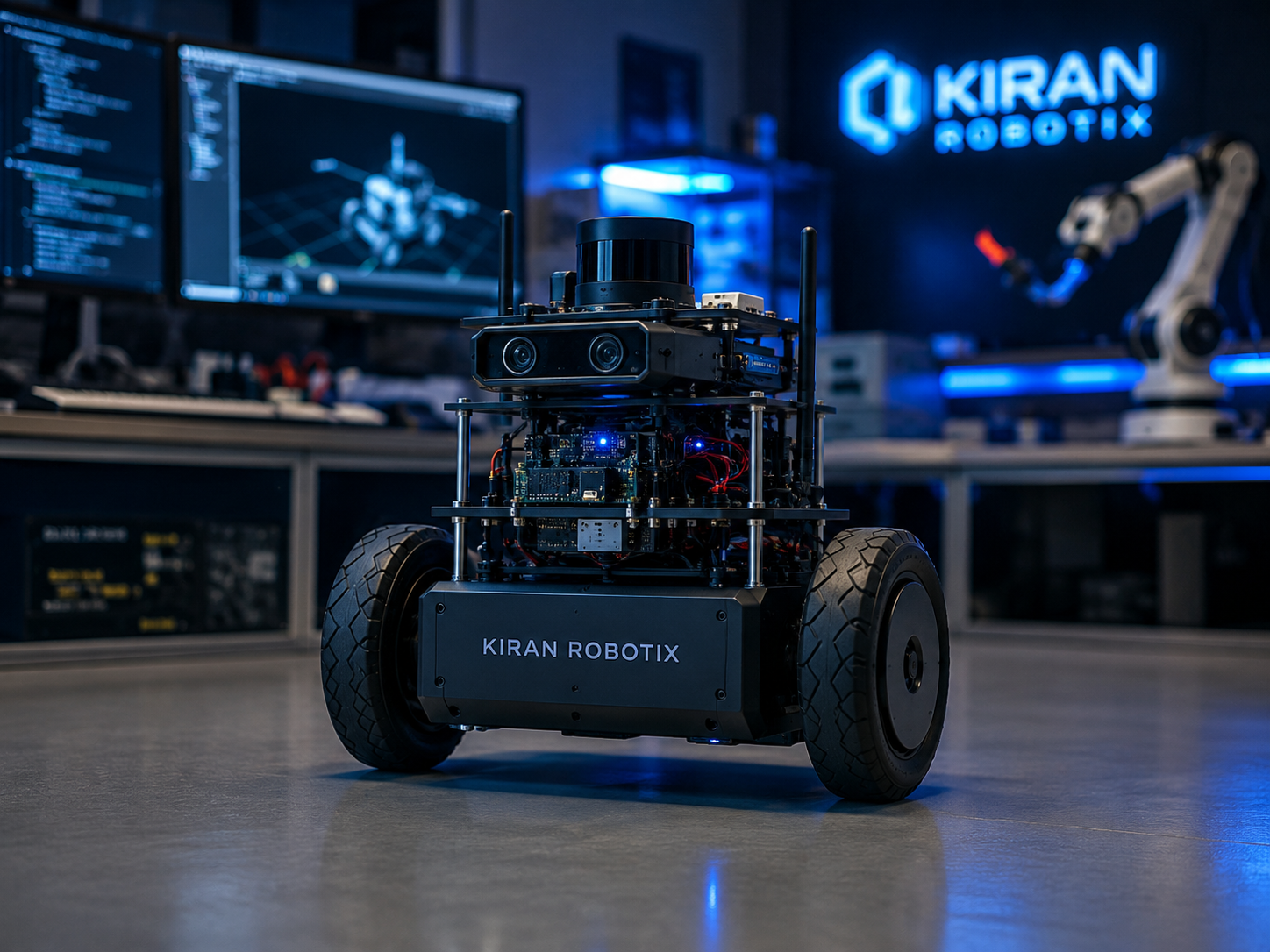
What is SLAM?
SLAM is not a single specific algorithm, but rather a concept and a set of mathematical techniques. It allows mobile robots, self-driving cars, and drones to operate autonomously without relying on external positioning systems like GPS, which can fail indoors or in urban canyons.
The Core Components
A successful SLAM system relies heavily on the fusion of data from multiple sensors. The process generally breaks down into two main parts:
- Localization: Using sensors like Odometry (wheel encoders) and IMUs (Inertial Measurement Units) to estimate the robot's movement over time.
- Mapping: Using exteroceptive sensors like LiDAR, Depth Cameras (RGB-D), or Sonar to measure the distance to surrounding obstacles and update the environmental map.
Because sensors are inherently noisy, SLAM relies on probabilistic models (like Kalman Filters or Particle Filters) to handle uncertainty and estimate the most likely state of the robot and the map.
Popular SLAM Algorithms
Over the years, several algorithms have become industry standards depending on the sensors being used:
- Gmapping: A highly popular 2D laser-based SLAM algorithm based on particle filters.
- Cartographer: Developed by Google, it provides real-time SLAM in 2D and 3D across multiple platforms and sensor configurations.
- SLAM Toolbox: A heavily utilized toolkit in the ROS2 ecosystem, optimized for robust mapping in large environments.
- ORB-SLAM: A versatile visual SLAM algorithm that uses standard cameras to map environments using feature detection.
Implementing SLAM with ROS2
If you are working within the ROS2 ecosystem, integrating SLAM
has become incredibly streamlined. Using packages like
slam_toolbox, you can easily spin up mapping
capabilities for a robot equipped with a 2D LiDAR.
# Example: Launching SLAM Toolbox in ROS2 Humble

ros2 launch slam_toolbox online_async_launch.py
Once launched, developers typically use RViz2 to visualize the incoming laser scans and watch the occupancy grid (the map) generate in real-time as the robot is teleoperated through the space.
Conclusion
Mastering SLAM is a non-negotiable requirement for developing truly autonomous mobile robots. As sensor technology becomes cheaper and processing power increases, we are seeing SLAM evolve from simple 2D maps to complex, semantic 3D environments that allow robots to truly understand the world around them.